Barcelona
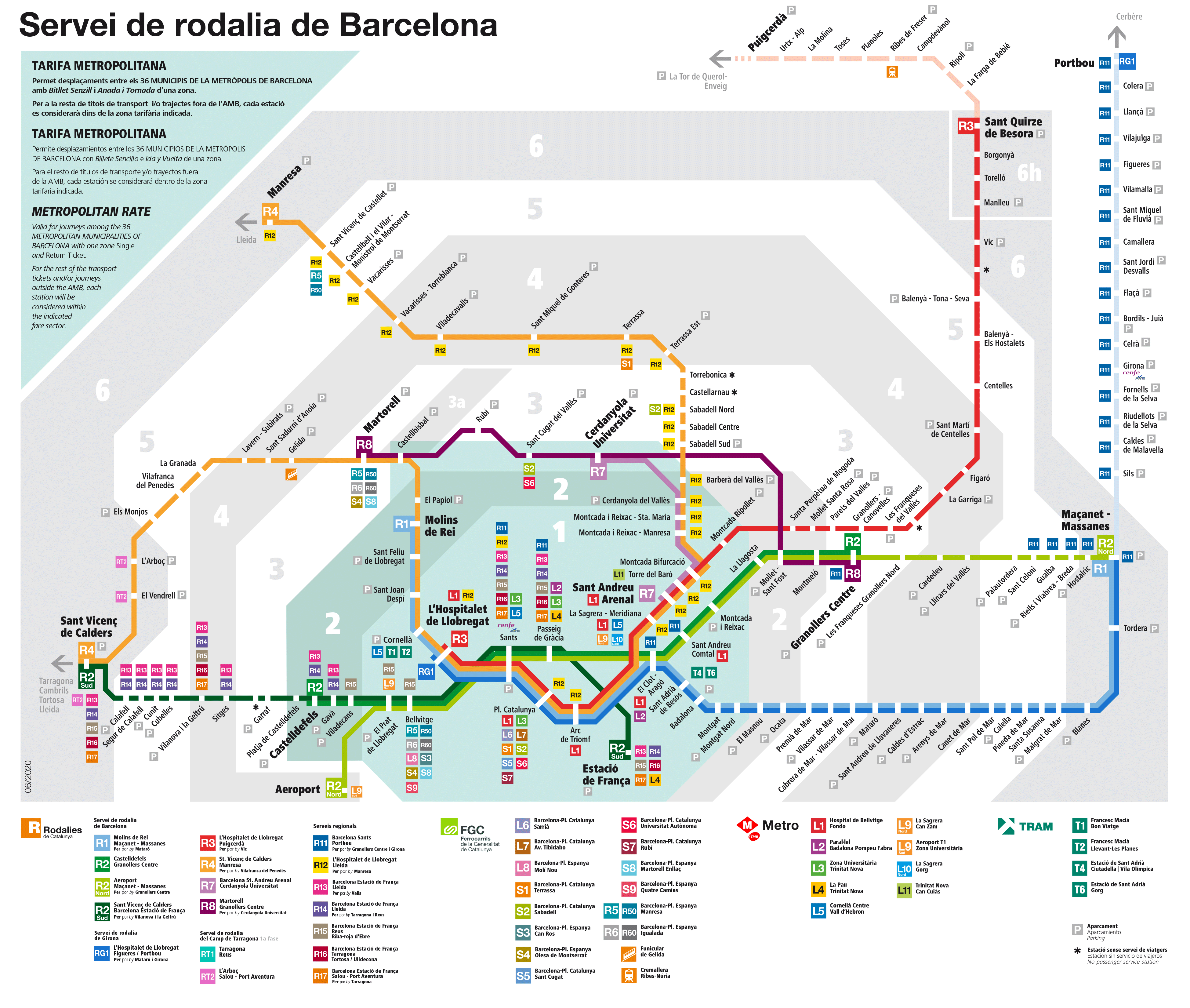
Renfe Rail Map Barcelona Area above
RENFE is one of Spains main rail network companies
The above RENFE rail network map for the Barcelona area is interactive. Use the buttons on the maps bottom right cornerto move or change the scale of the map. E.g. Use the + button to Zoom In
Please note that the Zones on the Renfe Rail Map are different from the zones on the ATM Rail Maps (downloadable from links below).
This is important if purchasing Zone tickets.
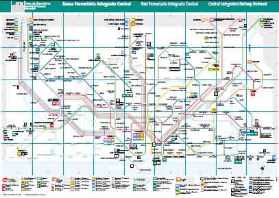
ATM Barcelona Central Integrated Railway Network Map

ATM Barcelona Central Integrated Railway Network Map
Barcelona Commuter Lines

Barcelona Commuter Lines by RENFE
This Map includes
Barcelona Airport
Blanes
Pinada del Mar
Malgrat de Mar
San Vicent de Calders
Sitges
Costa Dorada
Costa Brava
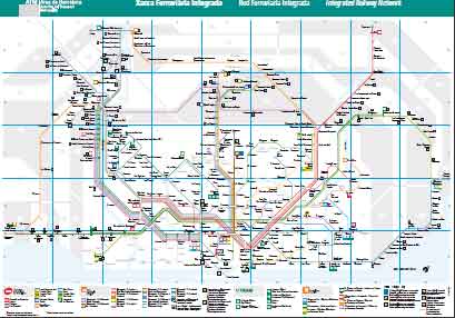
ATM Barcelona wider area Integrated Railway Network Map

Thumbnail ATM Barcelona wider area Integrated Railway Network Map
This map in centred on Barcelona & covers a much larger area than maps above & includes Barcelona Airport and:
- Costa del Maresme
- Malgrat de Mar
- Santa Susanna
- Santa Susanna
- Calella
- Sant Pol de Mar
- .... and more
- Costa Brava coast
- Blanes
- Tordera
- Maçanet Massanes
- End of Map. Connection to Girona & Portbou
- Costa Daurada coast
- Several Stations
- Sitges
- Cubelles
- Calafell
- Sant Vicenç de Calders
- End of Map. Connection to Tarragona & Tortosa
- Inland
- Many stations Inland
